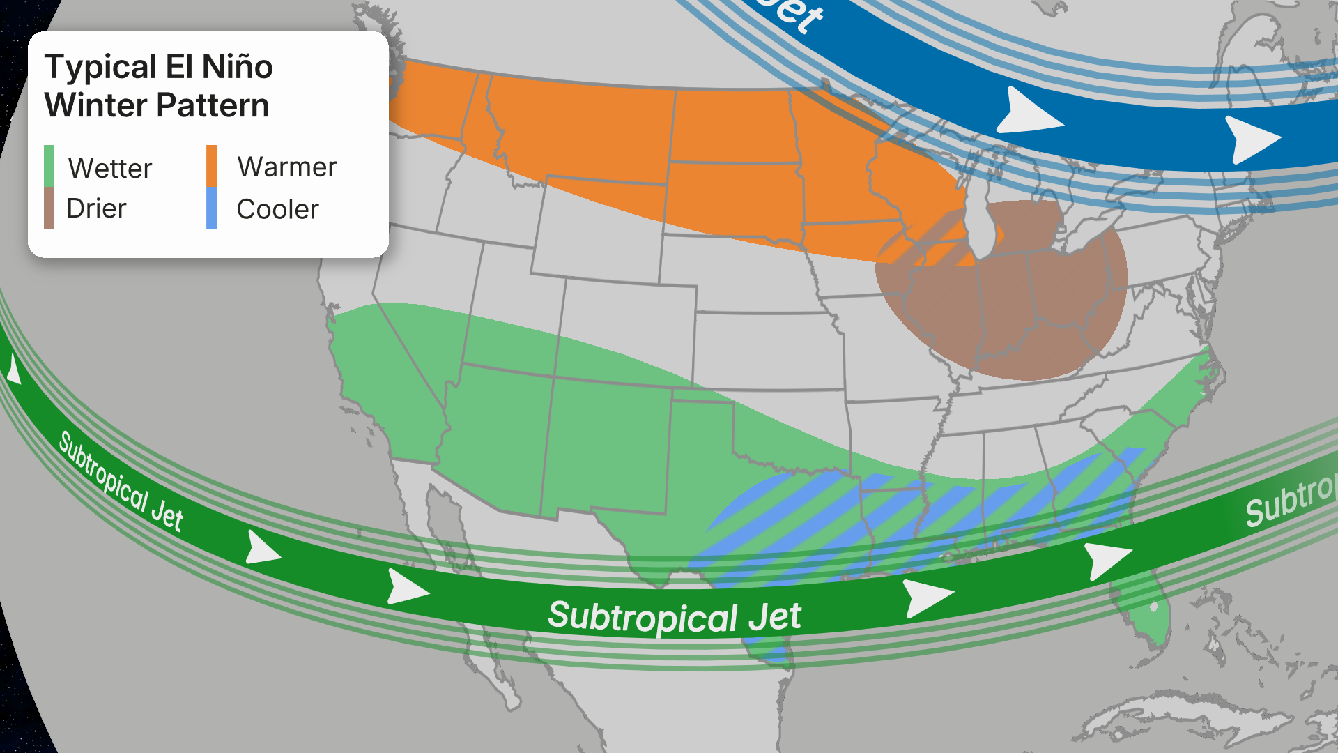
As summer heatwaves grip much of the globe, a critical shift in ocean temperatures is signaling the potential emergence of a historic El Niño event. Recent data from NOAA and the National Weather Service reveals a pattern of unprecedented warming in the eastern Pacific, aligning with the early indicators of a potential record-breaking El Niño. This development isn’t just a seasonal fluctuation—it’s a climate system shift with profound implications for global weather patterns.
Scientists have long monitored the El Niño-Southern Oscillation (ENSO) cycle, which typically triggers warmer-than-average sea surface temperatures in the eastern Pacific. But this year’s signals are extraordinary. The Pacific Ocean has shown a 0.5°C rise in sea surface temperatures over the past six months, a rate that exceeds the historical average by nearly 30%. The National Oceanic and Atmospheric Administration (NOAA) warns that if this trend continues, it could reach a level previously seen only in the strongest El Niño events of the 20th century.
Why Now? The El Niño Forecast Model is Off the Charts
Forecast models are currently predicting a 95% probability of a super El Niño forming within the next 12 months, according to the Joint Oceanic and Atmospheric Data (JOAC) model. This is the highest probability ever recorded for an El Niño event in the last decade. The models are using data from multiple ocean buoys and satellite observations to predict that the Pacific Ocean’s warmth could peak at 2.5°C above normal by mid-2026.
- Current sea surface temperature anomalies in the eastern Pacific are at +1.8°C (above average)
- 95% confidence level in forecast models for a super El Niño
- 2024 could be the hottest year on record globally, with El Niño contributing to 30% of this heat
The implications of this shift are already visible in regional weather. In California, heatwaves have been 40% more intense this year compared to the 2010-2020 average. In Southeast Asia, monsoons are showing signs of disruption, with rainfall patterns shifting to more intense but shorter-lived events.
Experts emphasize that while an El Niño doesn’t cause immediate disasters, it amplifies existing climate stresses. For instance, the 1997-1998 El Niño event was the strongest on record and caused extreme flooding in South America and Southeast Asia. Today’s models suggest a similar risk of widespread impacts as we approach this critical window.
Climate scientists caution that this isn’t just about weather—it’s about the Earth’s changing climate system. The current El Niño activity is part of a longer-term pattern of increasing ocean heat content, which is linked to the accelerating pace of global warming. As the Pacific Ocean absorbs more heat from the atmosphere, it creates a feedback loop that can intensify El Niño events.
The key takeaway for the public is this: If the forecast holds, the next El Niño could bring more extreme weather to your area. Be prepared for potential disruptions to your summer plans—whether it’s prolonged heatwaves, heavy rainfall, or unusual storm patterns.