Cape Town is currently under a severe weather warning as unprecedented storm activity threatens the city. Meteorologists report that a rare, one-in-100-year storm has already impacted the Eastern Cape, causing significant flooding across multiple regions. This event is part of a broader pattern of extreme weather that South Africa is experiencing due to shifting climate patterns.
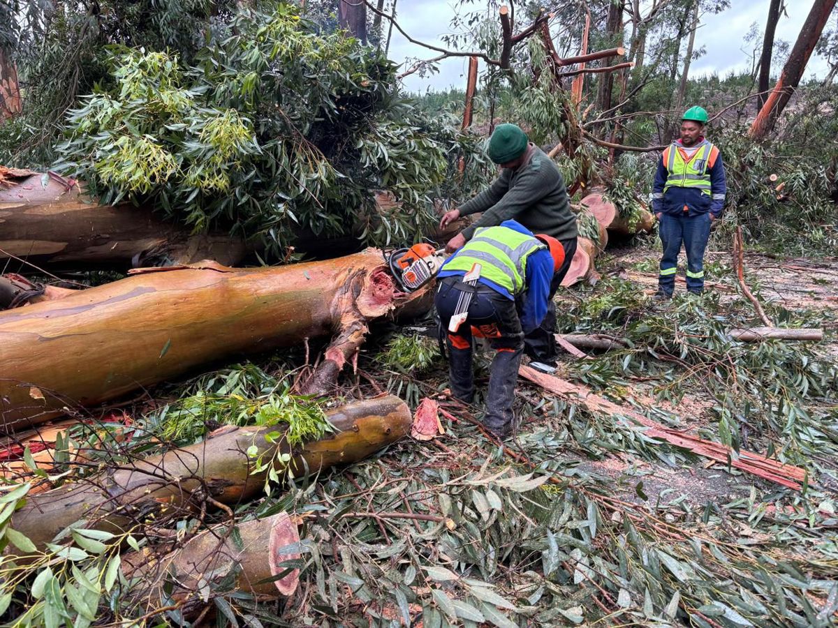
Emergency services are mobilizing rapidly across the Western Cape and Eastern Cape provinces. The National Disaster Management Committee (NDMC) has issued Level 8 severe storm warnings, indicating an imminent threat of life-threatening conditions. Reports from the Garden Route confirm that mop-up operations are intensifying following the second wave of severe weather, with floodwaters affecting critical infrastructure such as the Joubertina Bridge and R62 road sections between Haarlem and Misgund.
How does this storm compare to historical events?
The current weather system echoes past extreme events, including the 2019 floods that caused widespread damage in the Eastern Cape. Unlike previous storms, this one is characterized by a unique combination of atmospheric conditions—strong cold fronts colliding with warm, moist air from the Indian Ocean.
These conditions have led to record-breaking rainfall in regions like the Kouga River basin, where water levels have exceeded historical averages by over 30%. The flooding has forced the closure of key transportation routes, including the R62 and Joubertina Bridge, disrupting supply chains and emergency response efforts.
- Infrastructure damage includes road closures and bridge shutdowns along the R62 and Joubertina routes
- Emergency response teams are working around the clock to clear debris and restore access to critical facilities
- Local communities are preparing for potential secondary impacts from the second wave of weather
Government officials emphasize that the situation is evolving rapidly, with the next two days expected to bring additional rainfall. The National Weather Service warns that this storm could be the most severe in the region since the 2019 floods, which caused significant damage to the R62 corridor.
Residents in affected areas are advised to avoid non-essential travel, secure outdoor items, and monitor updates from local emergency services. The NDMC has also activated the National Disaster Response Plan, which includes targeted support for vulnerable communities, particularly those in low-lying areas prone to flooding.
Climate experts warn that such extreme weather events are becoming more frequent due to climate change. The current storm serves as a stark reminder of the increasing intensity of weather patterns in South Africa's coastal regions. As recovery efforts continue, local authorities are prioritizing the safety of residents while assessing the broader implications of this unprecedented weather event.